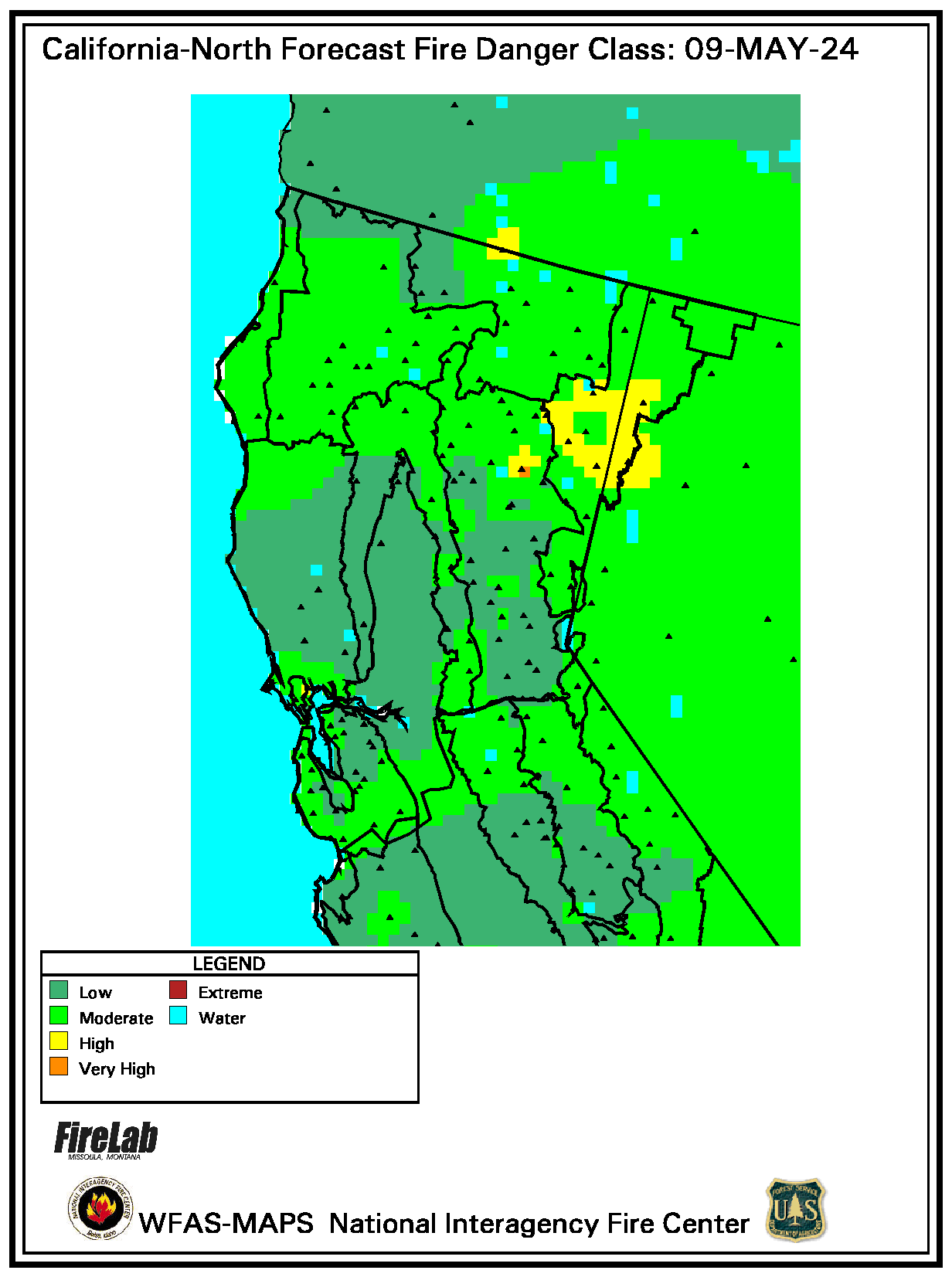
The GIS team provides maps such as these for the Planning Team as well as, other Overhead, Branch and Division positions on the Fire around the clock.

Subscribe to:
Post Comments (Atom)
This blog is designed to give folks a place to go for fairly current information on fast moving events. Keep in mind that if we are focused on "putting the fire out" we might not be blogging. We'll do our best to give you "real-time" information that you can use to make decisions.


No comments:
Post a Comment